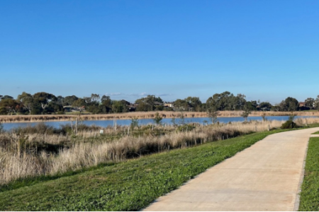
This article is reprinted from Bicycle Network. The trail along the Skeleton Creek at Sanctuary Lakes in Melbourne’s south-west has been completed. A new 3-kilometre …
Promoting Cycling in the West
This article is reprinted from Bicycle Network. The trail along the Skeleton Creek at Sanctuary Lakes in Melbourne’s south-west has been completed. A new 3-kilometre …
The following is a reprint coming from Bicycle Network, 18 November 2021. The next stage of the linear park project along the Federation Trail is …
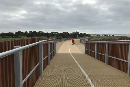
At the east end of Altona Beach, at the dog beach, an extensive and imaginative project has been completed. Cyclists now have a raised section …
In a recent issue of the Bicycle Network newsletter, it was reported that design work for the final stage of the trail along Kororoit Creek …

A road will be built over the level crossing at Aviation Road, removing it forever and making way for new walking and cycling paths, pedestrian …
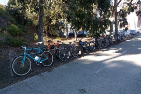
So why aren’t there more? Access to secure bicycle parking significantly influences commuters attitude towards adopting active transport. The Parkiteer project created in 2008, managed …